

 Experiences
 Destinations
 Accommodation
 Slovenia Green Routes
Adventure | Destinations |
48 sustainable hours on the Pohorje–Kozjak Trail: one trail, two different experiences
The new 187-kilometre Pohorje–Kozjak Trail connects two remarkably different mountain ranges. Over 48 hours, we set out to discover how the landscape, pace of hiking, views, cuisine and overall experience change from the forests of Pohorje to the slopes of Kozjak above the Drava Valley.
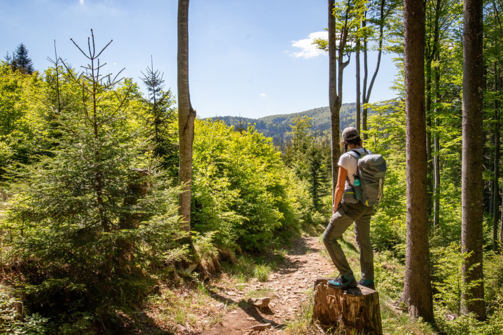
Read how we got to know the hiking trail that, since June 13, 2026, when it was officially opened, has connected two mountain ranges that are linked in the valley by the Drava, Slovenia’s largest river by water volume. It is hard to imagine just how different the sibling ranges of Pohorje and Kozjak are: in their elevation profiles, which dictate the pace of walking, in the frequency of hiking and tourism infrastructure, in their vegetation … Even in their smell! One thing is certain: after walking two shorter sections, it is clear that a person – a hiker – a nature lover will sooner or later return. Maybe this year, maybe in a few years with children. And that is precisely the charm of these long-distance hiking “puzzles”: some of you will tick it off in one go, others over the course of a lifetime. Both ways are right, as long as you keep walking – forward.
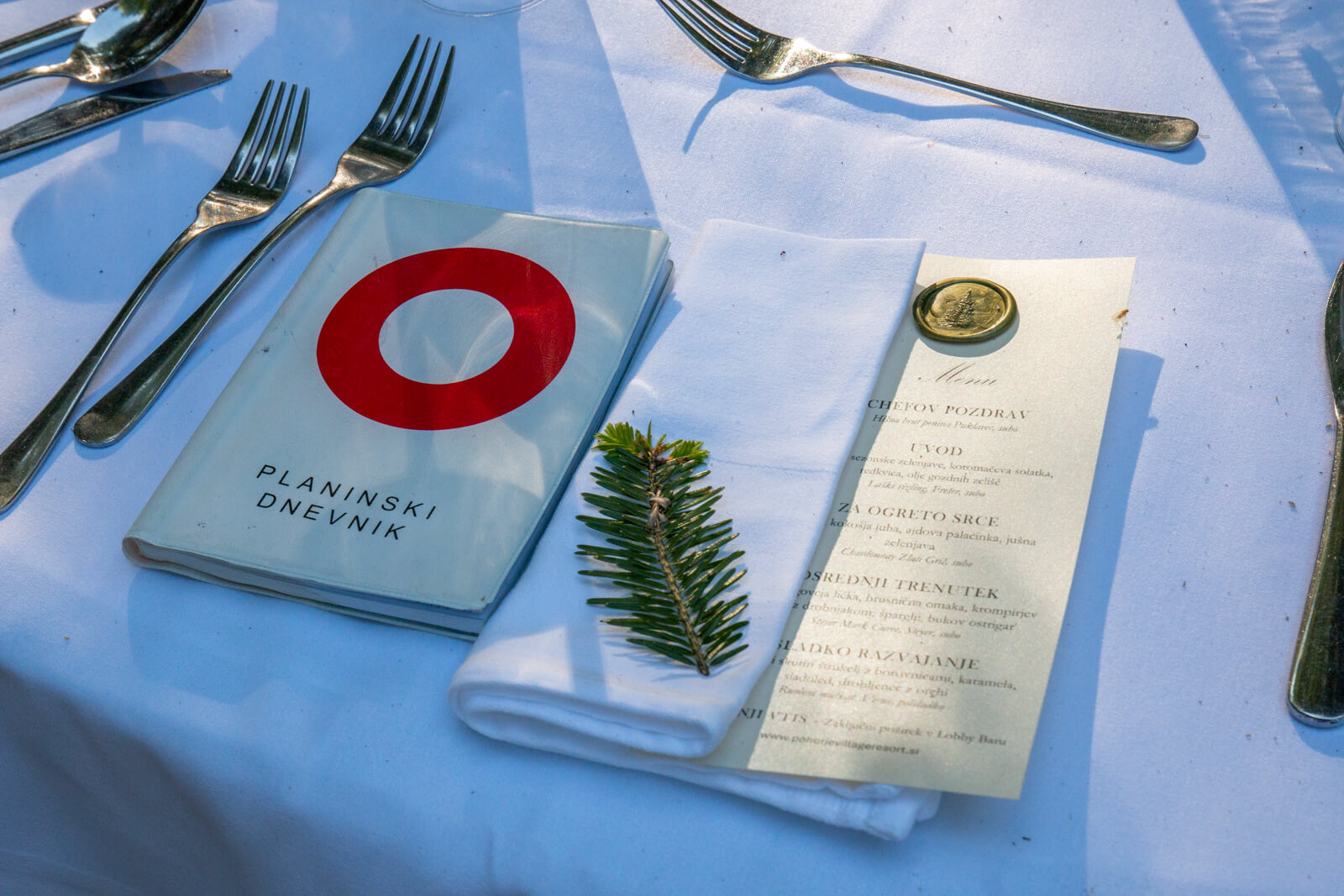
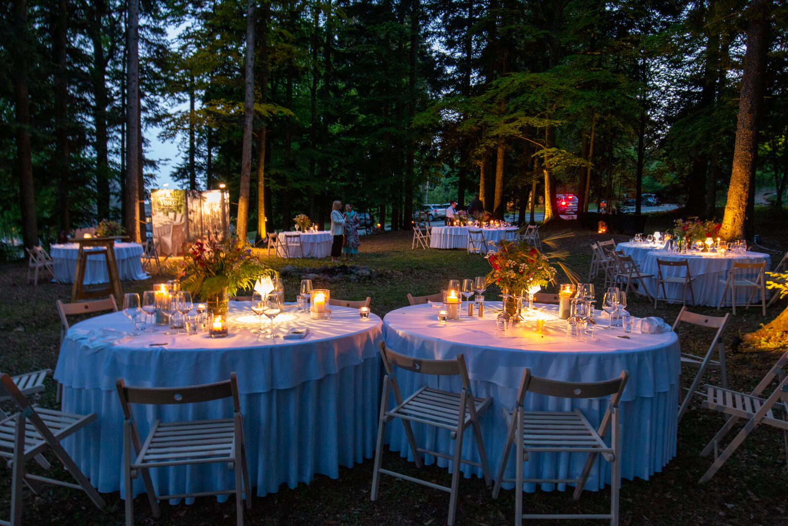
As a rule, the idea behind our “48 hours” series is to spend one night at a destination and explore the surrounding area over two full days. But coincidence had it that at Pohorje Village Wellbeing Resort, on the Friday evening before the Saturday when my colleague Iza and I were supposed to take on the new hiking trail, they had announced a dinner in the forest. And not the kind where you sit around a fire and roast sausages skewered on hazel sticks, but a four-course dinner accompanied by top wines from local Styrian winemakers. And so, at 1,050 metres above sea level, instead of classic hearty Pohorje cuisine, the plates featured chicken soup with a buckwheat pancake, beef cheeks with cranberry sauce, asparagus and oyster mushrooms, followed by cottage cheese ‘štruklji’ with blueberries, caramel, ice cream and a walnut crumble; while instead of, say, a beer, there was Frešer Laški Rizling, Chardonnay from Zlati Grič, Steyer Marc Cuvée and Verus Yellow Muscat. Just a few dozen steps from the hotel, but with old spruce trees instead of ficuses and dry spruce needles instead of parquet flooring. Um, isn’t this supposed to be a story about a hiking trail? What we want to emphasise is that this, too, is possible on Pohorje. And one more thing should not be overlooked: on Pohorje, more than a thousand metres above sea level, you are just 20 minutes from the centre of Maribor.
-
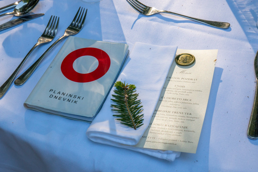
- Dinner in the forest on Pohorje begins with the details – and a menu among the spruce trees.
-

- A four-course dinner in the middle of the Pohorje forest, just a few steps from Pohorje Village Wellbeing Resort.
-

- Cottage cheese štruklji with blueberries, caramel, ice cream and walnut crumble.

What is the Pohorje–Kozjak Trail?
In 2026, the Partnership for Pohorje, coordinated by RRA Podravje – Maribor, took an important step in developing a joint hiking adventure for Pohorje and Kozjak – the new long-distance hiking route Pohorje–Kozjak Trail was established. It is one of the Partnership for Pohorje’s largest joint development projects in the field of hiking, and even before its official opening it achieved exceptional international recognition, as the British BBC ranked it among the five most anticipated new hiking trails in the world in 2026.
The Pohorje–Kozjak Trail is a 187-kilometre circular long-distance hiking route comprising 20 stages (10 across Pohorje and 10 across Kozjak). The stages begin at accessible points, allowing easy access to the trail directly from the valley. It is suitable both for more experienced hikers and runners and for families on day trips.
-
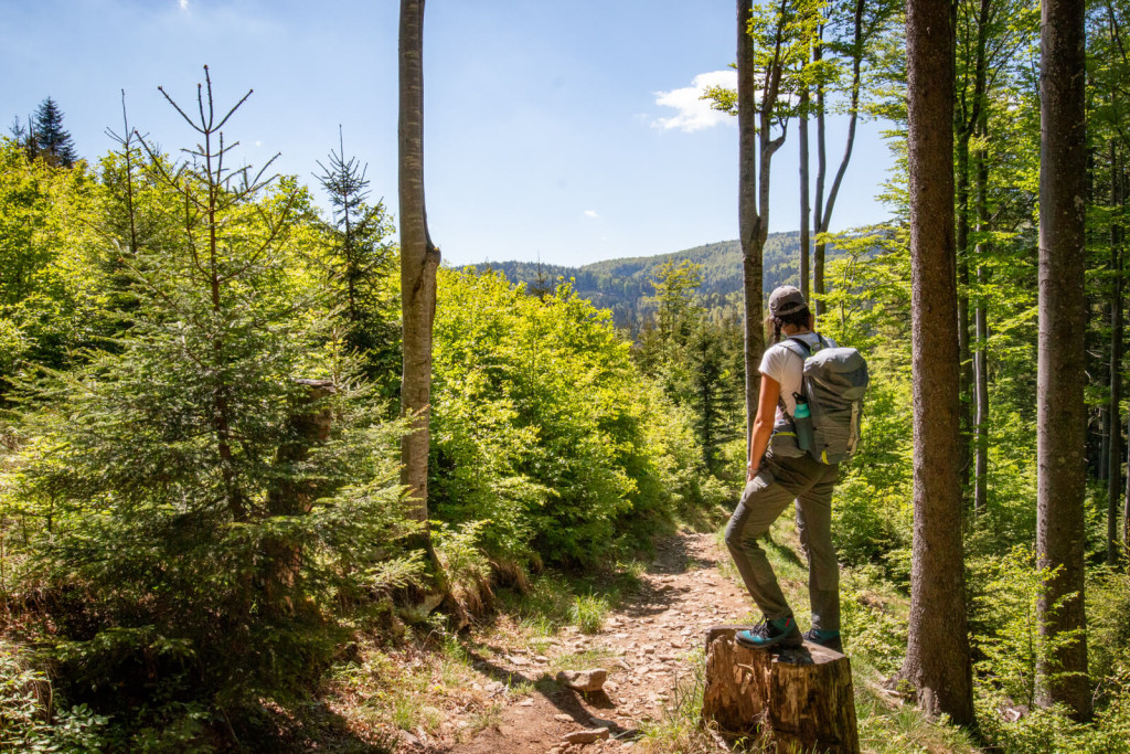
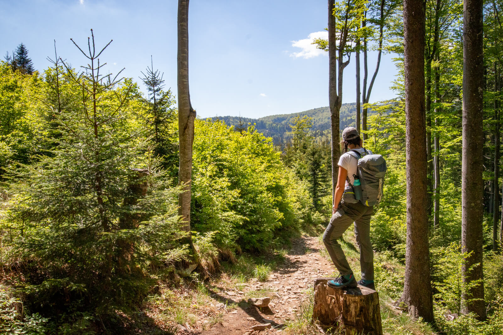
- Along Pohorje’s forest trails, where shade is almost always close by.
-
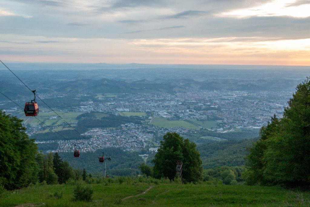
- A view from Pohorje towards Maribor and the Drava Valley.

-
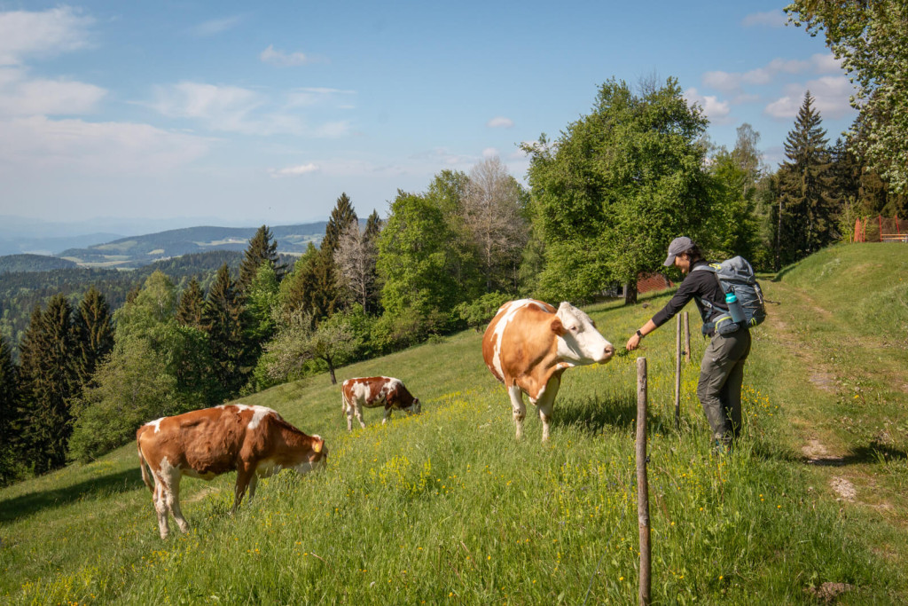
- A hiking trail through the forests, meadows and pastures of Pohorje.
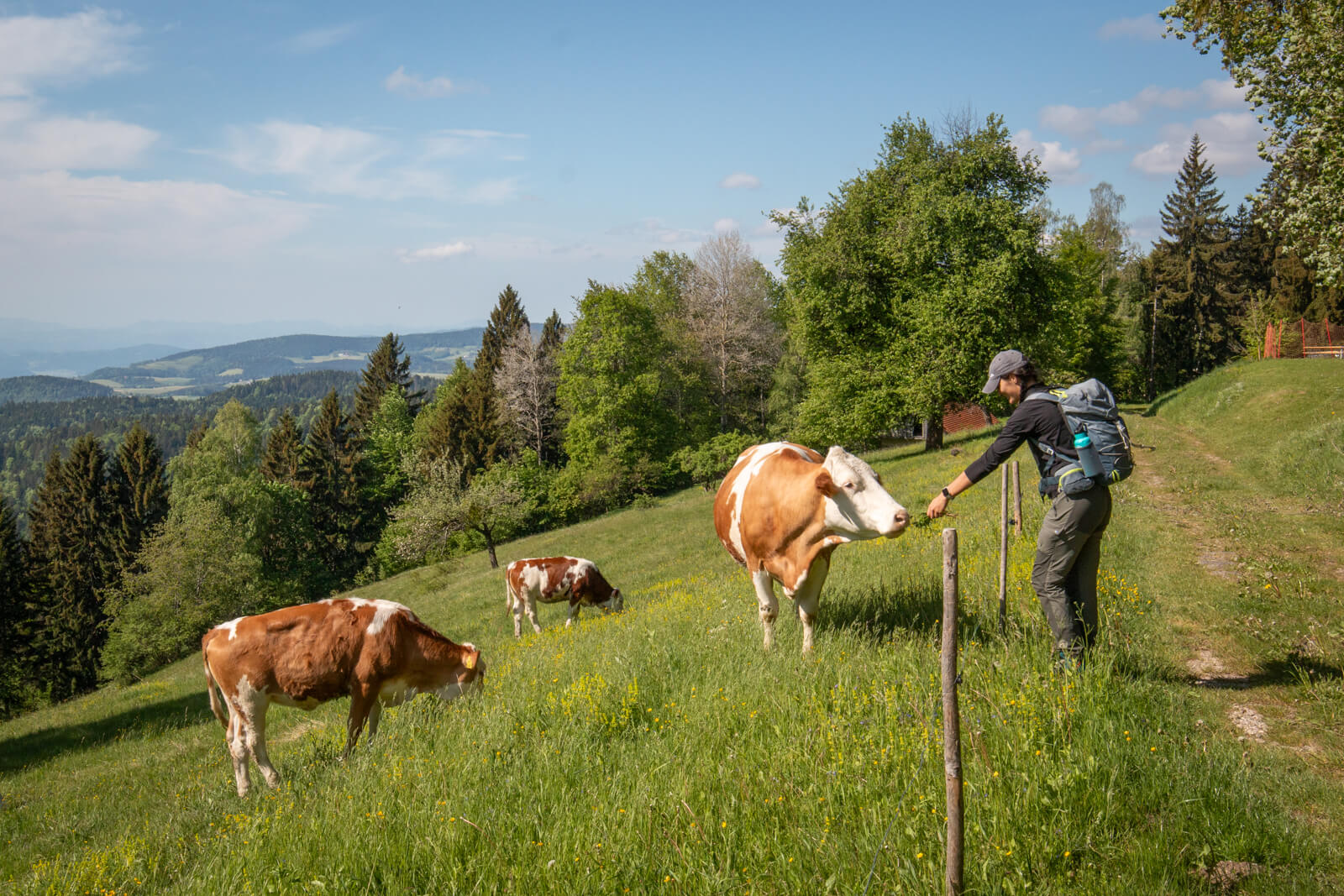
Where we ski in winter, we walk at an easy pace in summer
After a pleasant dinner, a night’s sleep in the fresh mountain air (by the way, the rooms do not have air conditioning – because they do not need it) and a rather hearty breakfast, it was time for work. Well, for walking. Passing the Church of St Bolfenk, we left the almost urban area around the upper station behind and headed west. After just half an hour of easy walking with barely any elevation gain (because the central part of Pohorje is a plateau), the destination of the first stage was already in front of us – Mariborska koča. Though, to be honest, the first stage does not start at Pohorje Village Wellbeing Resort but in Maribor, so we skipped a good part of the first stage by taking the gondola.
At Mariborska koča, they were just preparing to host a gathering of railway workers; a pig was turning on the spit and a huge pot of Pohorje stew was being prepared. This is where ultramarathon runner Robert Kereži caught up with us. He was preparing to run the entire hiking trail – all 187 kilometres of it. In one go. “I know Pohorje well, it’s beautiful, and I train here regularly. What I like most is its diversity and the fact that you can find drinking water everywhere,” Robert tells us. “Kozjak is different, hillier. To be honest, I don’t know the western part well yet, so now I’m getting to know the entire trail section by section, because I promised I would run the whole thing at the opening.” We did not even try to keep up with him. We extended the route between Mariborska and Ruška koča with an approximately half-hour detour to the Fram Waterfall – Skalca Waterfall, which lies just below the paved road leading across Slivniško Pohorje to the top for cyclists, motorcyclists and other users of “wheeled” means of transport. When planning your route, keep in mind that the trail connects more than 100 natural and cultural sights, for which it is sometimes worth leaving the main route.
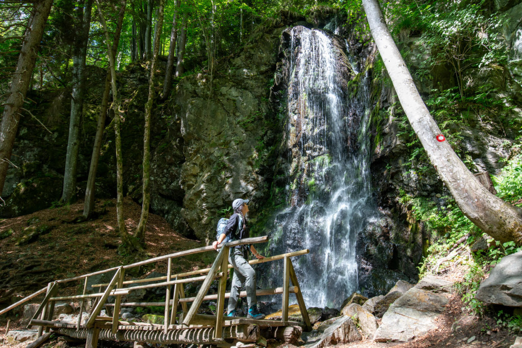
Skalca Waterfall, a hidden waterside stop along the trail in Pohorje.
Navigation is not difficult, but still …
Using a combination of a classic paper map and the Ride With GPS navigation app, into which I had loaded the entire Pohorje–Kozjak Trail, we found a shortcut from the waterfall directly to the walking path between the churches of St Bolfenk and St Areh. After two hours, during which we met perhaps five other hikers, things became livelier again just before Ruška koča. It seems that Maribor Pohorje is alive all year round. But Vlado Hecl, the hut keeper at Ruška koča, says that is not entirely the case: “It’s peaceful during the week. Even on Saturdays we are relatively empty; we have the most guests on Sundays. People know that it’s beautiful here and that the food is good.” We allowed ourselves to verify that with an excellent Pohorje stew, mushroom soup, generously dressed ‘žganci’ and blueberry strudel split into two halfs. “Ugh, that’s half a portion?!” The portions really are substantial. And ahead of us there was still more than another whole stage towards Planina pod Šumikom. Fortunately, downhill.
During the descent, grey beech trees slowly began to push their way among the spruces, watching our steps with knotty eyes. After crossing a marshy forest, the trees opened up several times during the descent just enough for us to glimpse the vastness – seemingly endless – of Pohorje’s forests. Yes, Pohorje is above all a forest. So those of you who climb hills (only) for the views (and summit selfies) will have to learn to see a different kind of beauty here. I think the new hiking trail is a good way for the destination to attract more visitors, who will then spread out over a larger area and thus experience peace and wilderness.
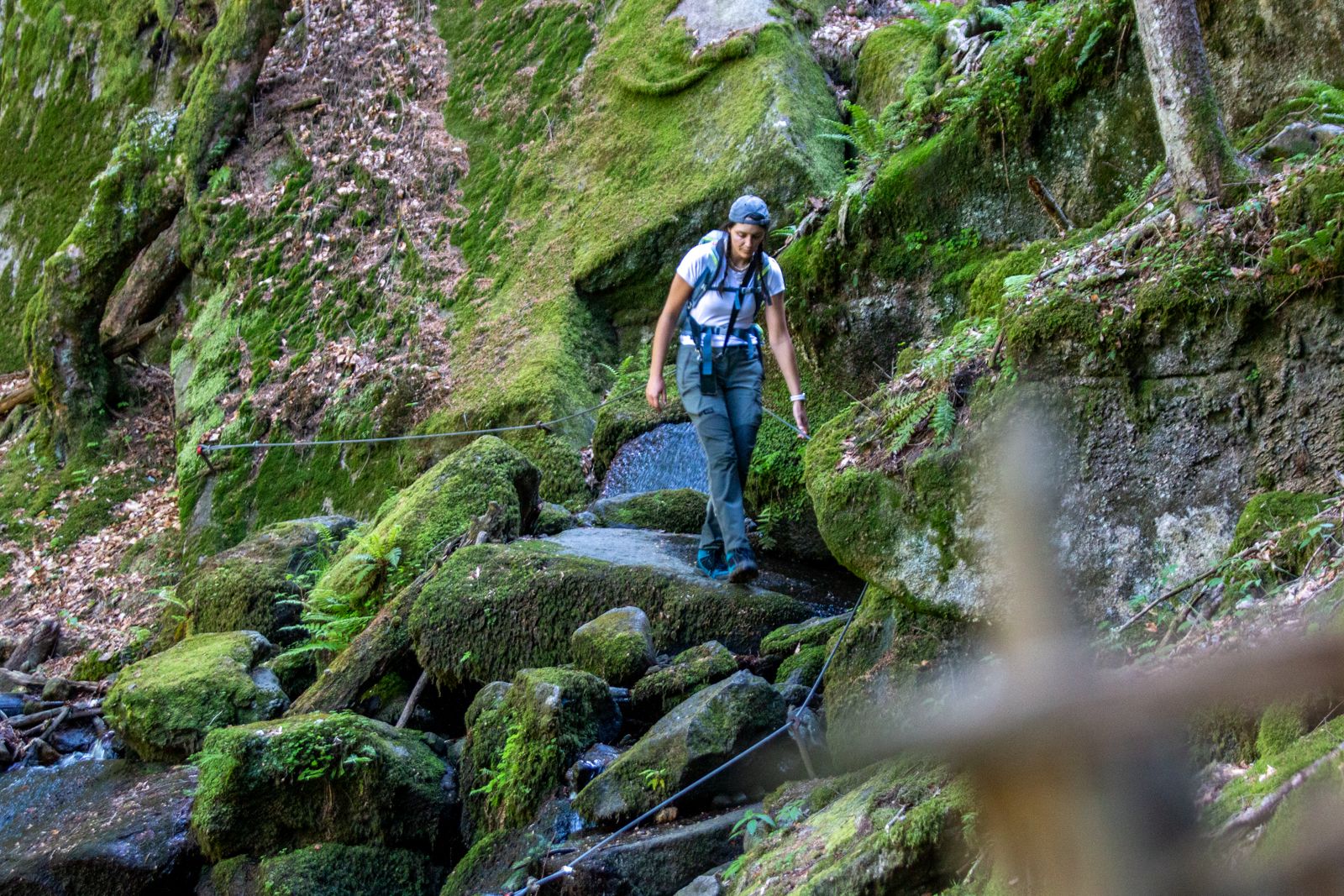
At the end of the stage, we leave the Pohorje–Kozjak Trail route and turn north. I recommend the just-over-a-kilometre descent through the primeval forest reserve to Šumik Waterfall in any case, even if you plan to continue towards Trije Kralji. Unlike everything we had walked since the morning, this section is technically more demanding and is even secured in places. As you descend along the most demanding section in the entire Pohorje and Kozjak area, bear in mind that the gorge of the Lobnica stream was once home to the longest timber slide in Slovenia. Along the “Pohorje riže”, as the locals call them, timber was transported down into the valley.
I don’t know whether I have already forgotten all my primary-school geography or whether our teacher, Mr Kljun, simply forgot to tell us about such beautiful places? The Lobnica stream thunders over dark rocks, and not just once at the Veliki Slap waterfall, but again further down towards Ruše, where we arrive rather exhausted towards evening. When planning your route, keep your abilities in mind – in our desire to see as much as possible in two days, we may have sliiightly overestimated ours.
-

- Šumik Waterfall, one of Pohorje’s most scenic natural highlights.
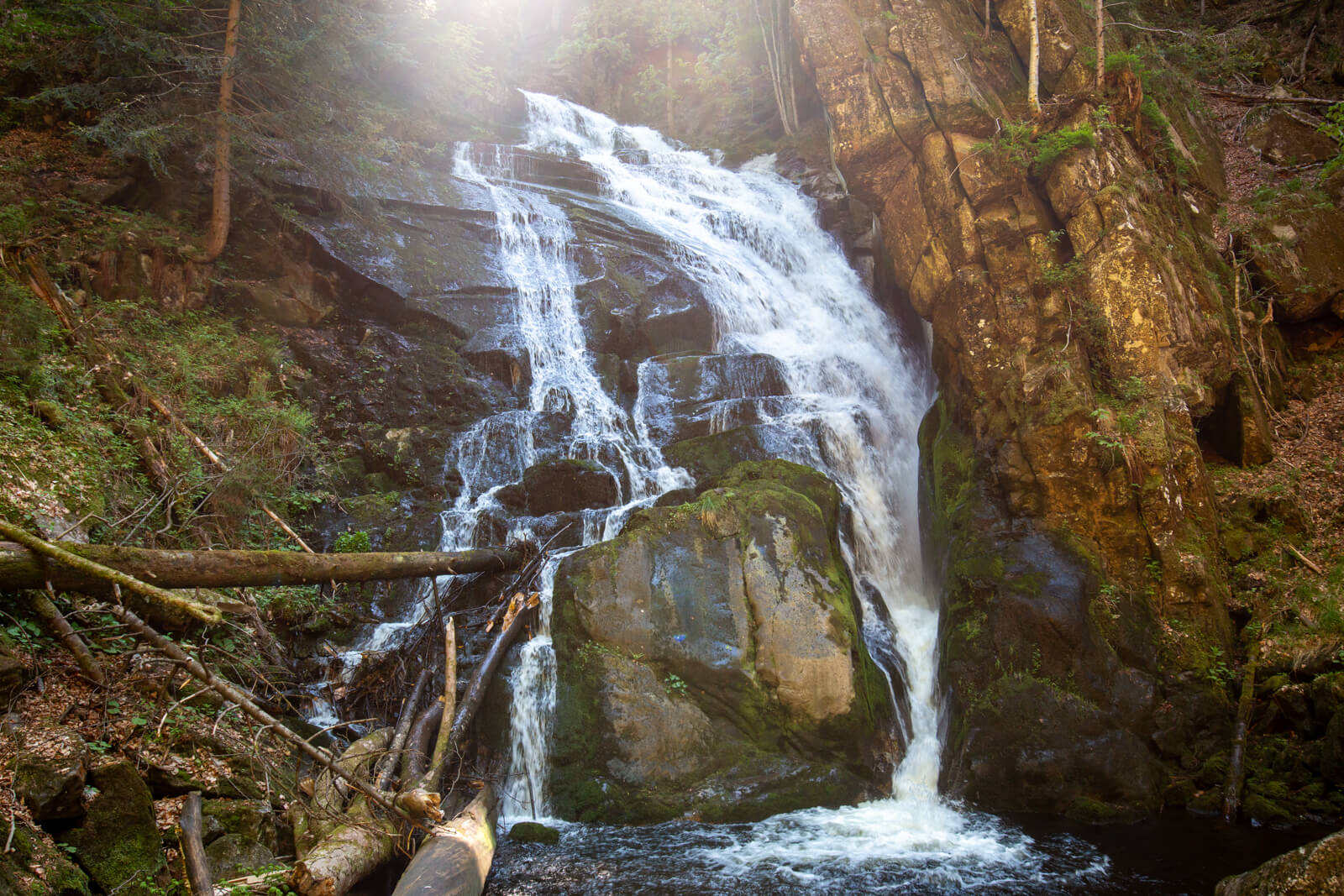
-
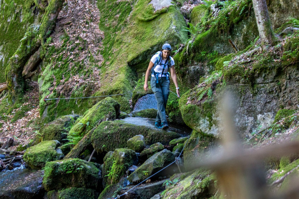
- The descent towards Šumik Waterfall is more technically demanding and secured in some sections.
-

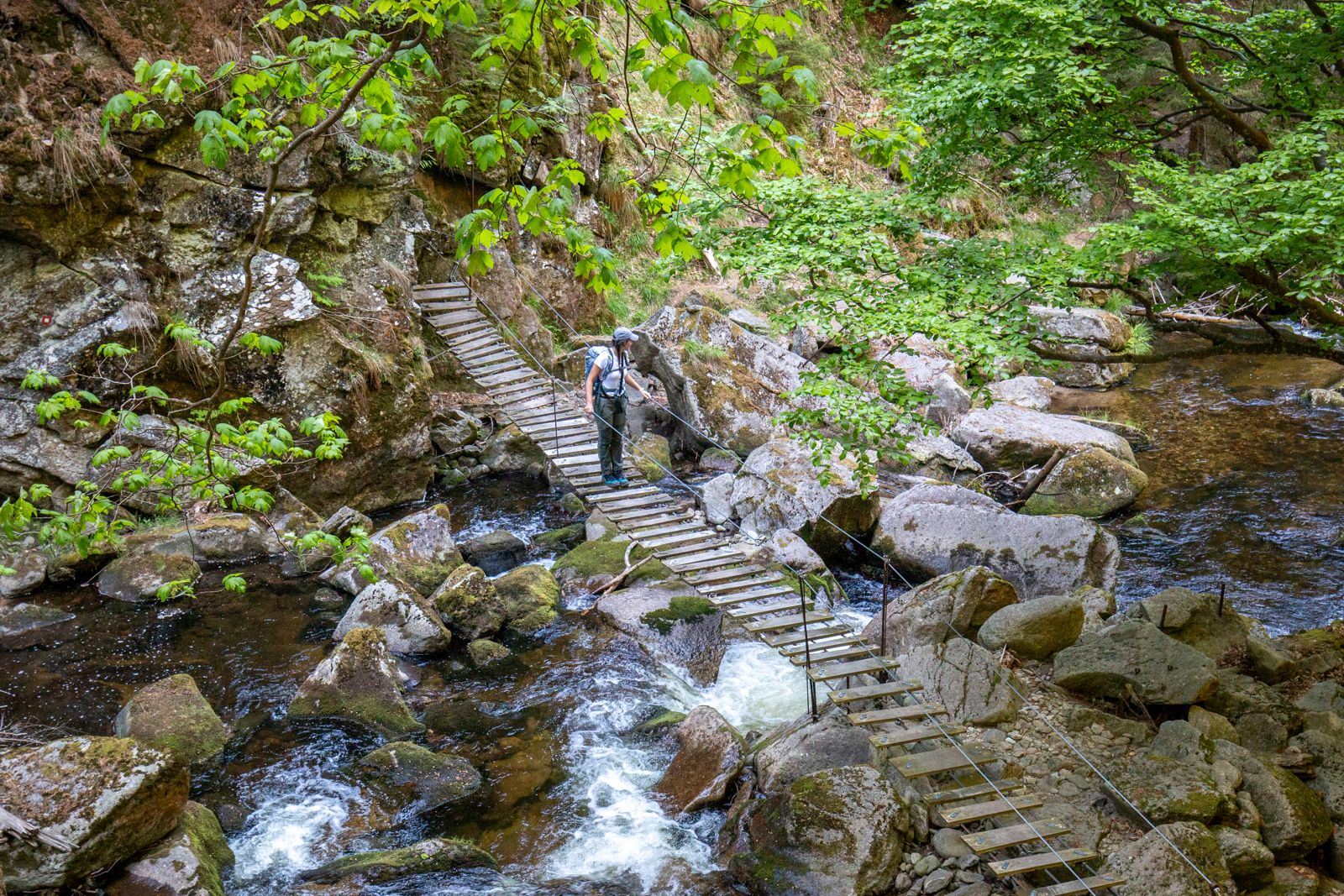
- The trail crosses the stream between rocks and dense Pohorje forest.
Kozjak even smells different
Sunday was the day for the other mountain range in the name Pohorje–Kozjak. And while almost every Slovenian can point to Pohorje on a map thanks to its skiing fame, asking the same question about Kozjak can leave some people embarrassed. “Um, no, the one in the southeast is Kozjansko … Ah, right, here it is, almost in Austria.” Kozjak is bordered by the Drava Valley to the south, while to the north it pushes across the border into Austrian Styria; in the west it ends somewhere near Muta, while in the east it reaches exactly above Maribor. Today we will walk the section between Ruše and Slovenia’s second-largest city, and first on the menu is the climb to the Hut on Žavcarjev vrh. As soon as you import the navigation data (gpx) for the entire trail into an app and look at the elevation profile, it becomes clear which part is Pohorje and which is Kozjak. Pohorje is like one gigantic, plateau-shaped cake, while Kozjak is pointed like wolf’s teeth, descending towards the finish in ever-smaller amplitudes. This does not mean that steep, rocky mountains await you, but rather a range that is frequently cut by valleys and smaller valleys. And the fact that we were no longer on a plateau and that no gondola runs to Žavcarjev vrh was something we, already tired from the long Saturday, quickly realised as well.
It is not only the elevation profile; almost everything is different on Kozjak. While large conifers reign on Pohorje, with beech trees lower down, Kozjak seems more diverse in its vegetation, full of shrubs, undergrowth, ferns … Berries! Oh, what a joy it is on a hot day to pour a whole handful of sweet and juicy wild strawberries into your mouth. Even the smell is different. Pohorje smells of dampness, Kozjak of dry earth and last year’s leaves.
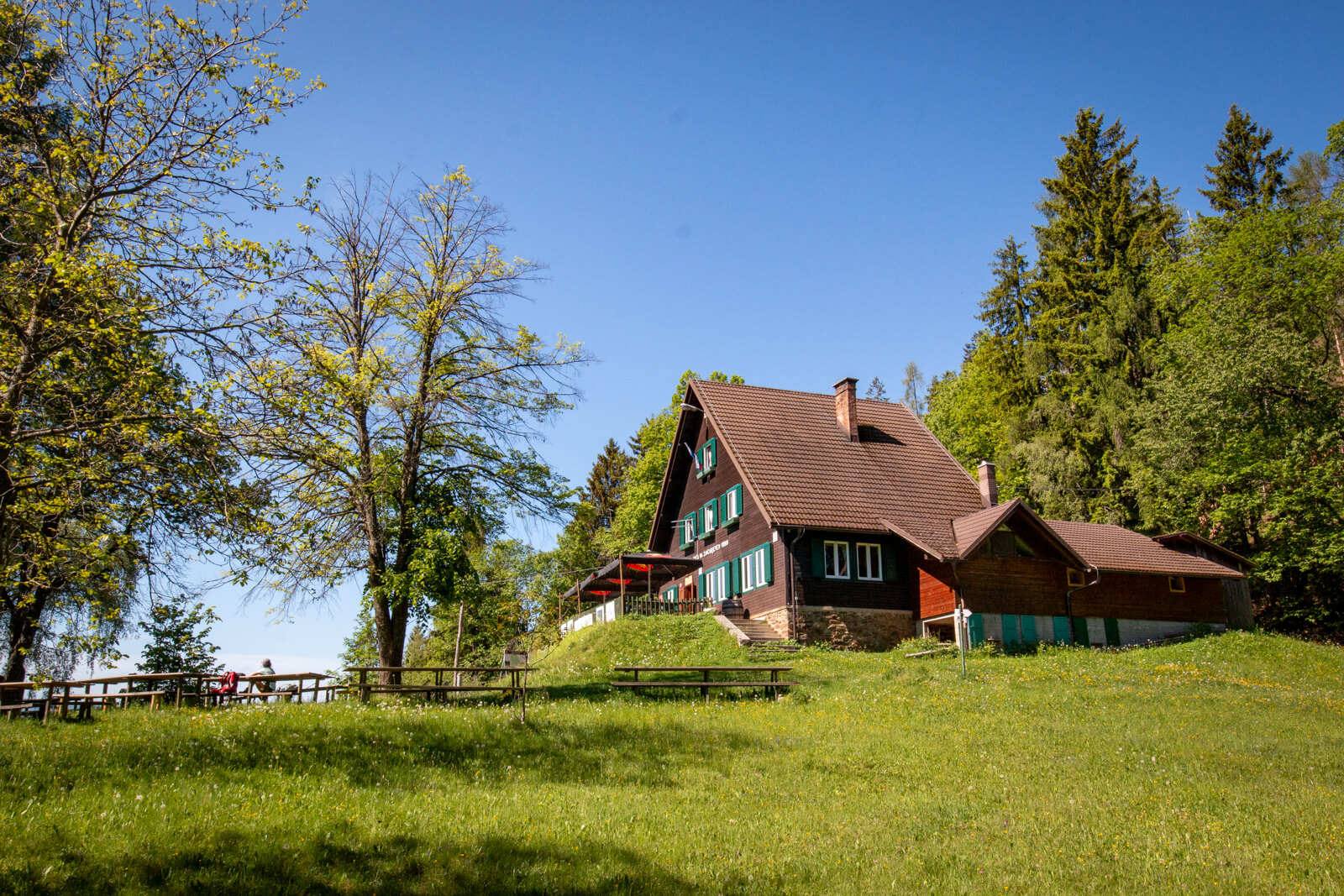
The hut keeper was just explaining to guests how birds had woken her at five in the morning when we arrived at Koča na Žavcarjevem vrhu, thoroughly sweaty. In 2024, on the 70th anniversary of its operation, it was awarded the title of Best Mountain Hut in Slovenia.
-
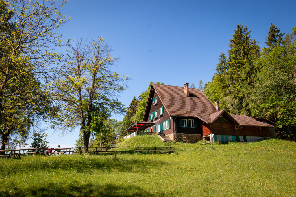
- Koča na Žavcarjevem vrhu on a sunny meadow surrounded by green forest.
-
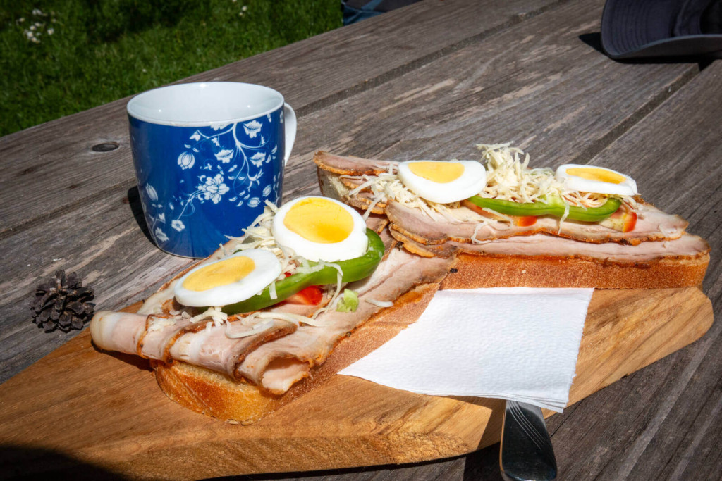
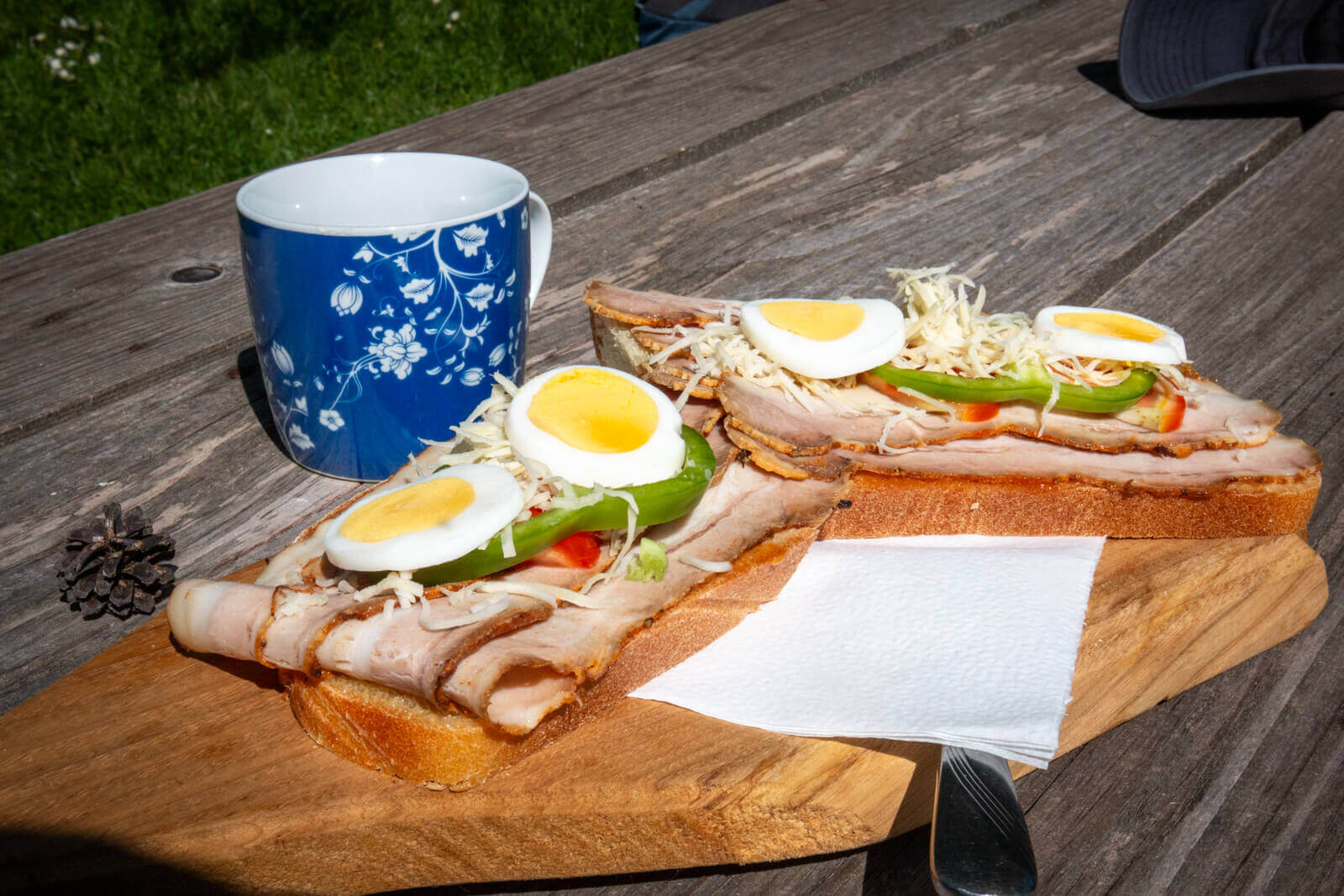
- The cyclist’s sandwich, a house speciality at Koča na Žavcarjevem vrhu.
-
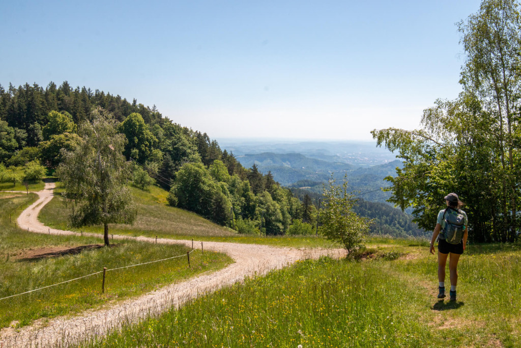
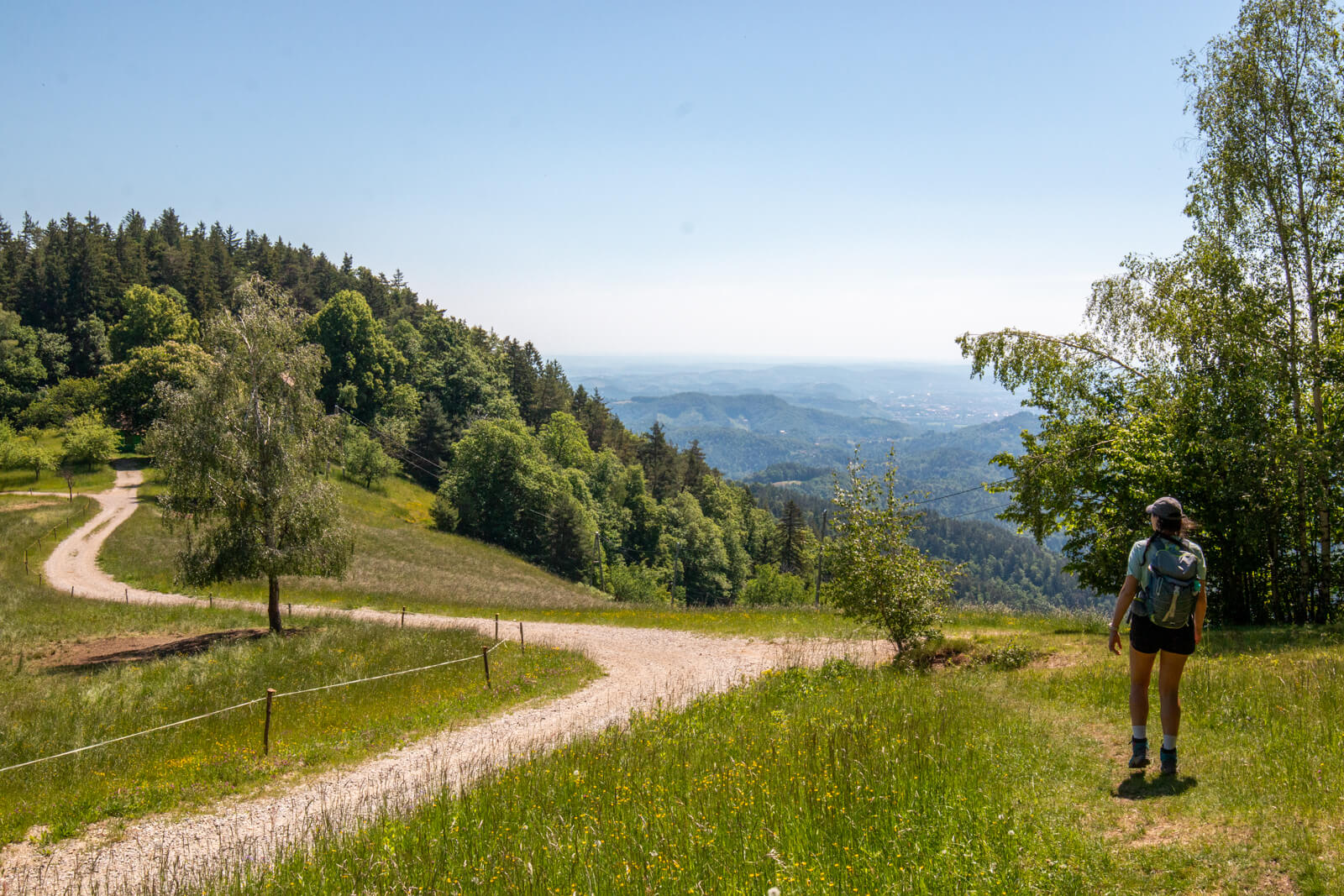
- Across Kozjak, the trail gradually descends towards Maribor through forests and meadows.
– “Good afternoon, will you first have a …”
– “Coffee!”
– “No, no, tea. Coffee is a diuretic, that’s not good for hikers. I’ll bring you tea.”
That was how Saša Popelar Markoja, the hut keeper at Koča na Žavcarjevem vrhu set us straight. Since it was time for a snack anyway, we each treated ourselves to half a cyclist’s sandwich, the house speciality that restores calories and the will to live to cyclists after the steep climb to the hut (from the banks of the Drava, there is almost 600 metres of elevation gain over just over five kilometres). Everyone hiking the Pohorje–Kozjak Trail will reach the hut by a less steep route; on the stage from Sveti Duh na Ostrem Vrhu, you face only 388 metres of ascent over 8 kilometres.
Back towards Maribor
And suddenly there was “only” the final stage ahead of us: Hut on Žavcarjev vrh – Maribor, a full 20 kilometres long and, despite the overall descent towards the city, still with 442 metres of climbing. This is also reflected in the frequent viewpoints which, looking east, show how the mountain range slowly merges into the wine-growing hills, but with small valleys in between that demand strength and perseverance from the hiker right to the end. Especially because the hiking trail across Kozjak, at least on this final section, runs along the sunny side of the range and no longer at a thousand metres above sea level (Koča na Žavcarjevem vrhu lies at 863 metres). From this, we can conclude that the Pohorje section of the trail is more suitable for the summer months, while the Kozjak section is better for early spring and late autumn, or even fine winter days.
Somewhere halfway through the stage, at the beautiful viewpoint by the little Church of St Urban, we nodded to each other that this was enough for today. At a nearby wine tavern, we ordered a spritzer and a cold-cut platter and called a taxi. That is what happens when you put too much on your plate and your eyes are hungrier than your stomach. With a little help – the gondola for the ascent to Pohorje and a taxi for the return to Maribor – in an actual 48 hours we walked approximately three full stages of the trail, with the addition of the descent and ascent across the Drava Valley, which is not officially part of the long-distance hiking trail (though it is nice to see that such options for shorter weekend trips exist).
Next time? Well, there are the stages from Ruška koča via Rogla to Kope, and then the completely unknown section from Dravograd to Košenjak and along the Slovenian-Austrian border back towards Maribor.
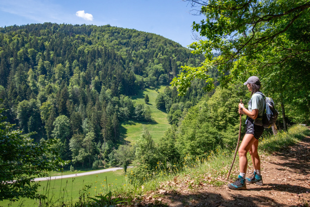
Views over forested valleys accompany hikers along the final stages across Kozjak.
Key takeaways about the Pohorje–Kozjak hiking trail:
- Existing hiking trails have, in cooperation with the Alpine Association of Slovenia, been marked with an additional trail marker: a blue-green heart bearing the words PohorjeKozjak Trail.
- Nevertheless, you can download the route plan to your smartphone (the GPX file is available here) so that it is accessible offline. Do not count on mobile coverage being available everywhere!
- The trail can be walked safely in all seasons, as it runs through medium-altitude mountains, although greater caution is required in winter. More about safe hiking can be found here.
- We also recommend a classic paper hiking map, which you can order free of charge here: www.pohorje-slovenija.si/o-pohorju/turisticna-karta-pohorja
- On the Pohorje side of the trail, there are enough mountain huts for food, drinks and overnight stays; on Kozjak, a little more planning is required (or a larger backpack). A printed guide covering the entire offer along the trail is in preparation.
- A stamp-collection booklet is also available and can be ordered free of charge here: www.pohorje-slovenija.si/o-pohorju/knjizica-z-zigi-pohorje-kozjak-trail
- Judging by the sections we walked, the trail is technically undemanding (except for the route to Šumik Waterfall, which is not part of the main trail but one of its connecting routes).
- Pohorje is cooler, Kozjak warmer; adapt the season or the start/end of your hike accordingly.
- Nature is beautiful.
- The forests are friendly.
- So are the people.
- The food portions are substantial.
-
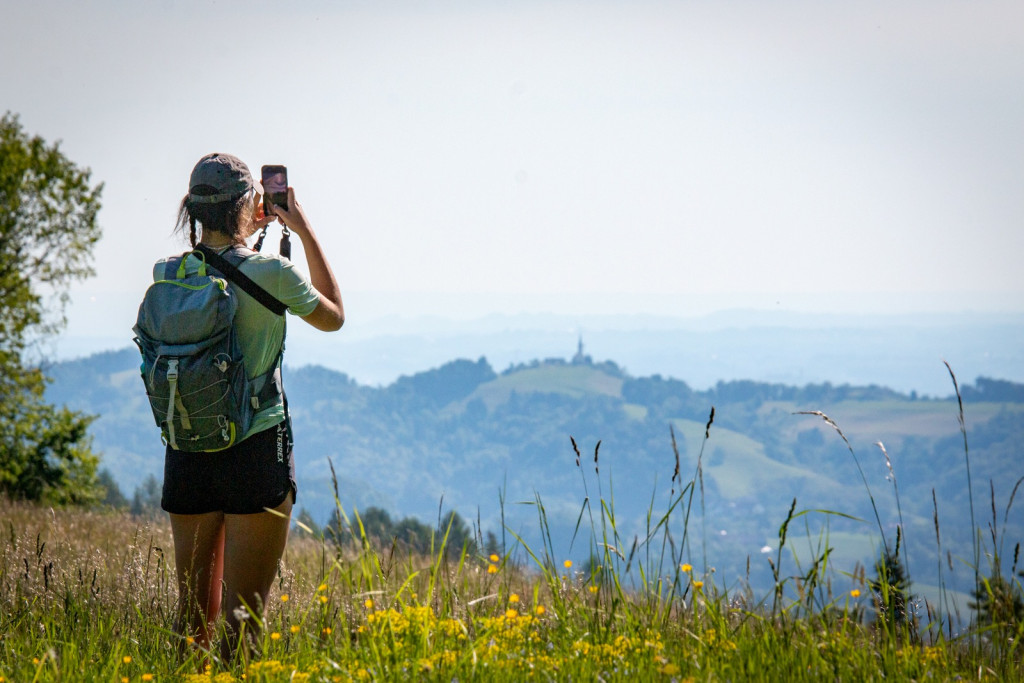
- Views across green hills and valleys are one of the reasons to stop along the trail.

-
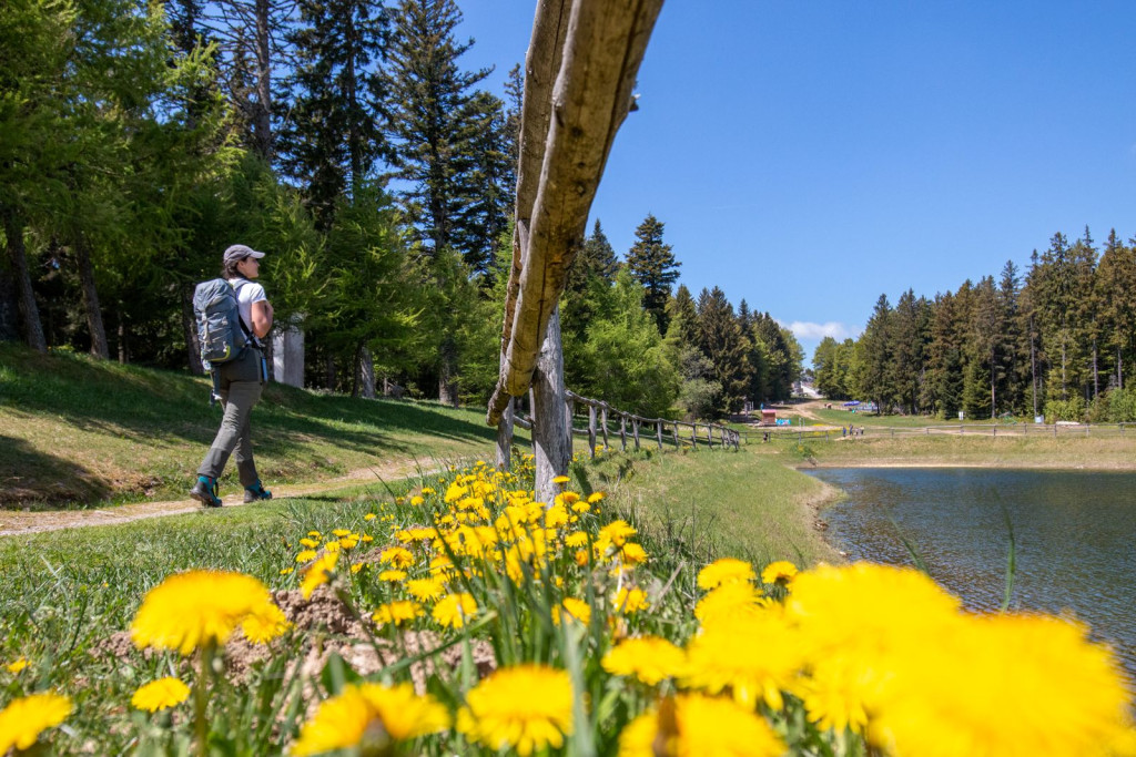
- A hiking trail through forests and meadows, with open views along the way.
-
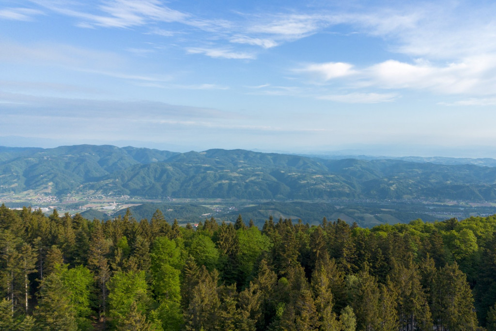
- A view across the forests and rolling landscape of Pohorje.

Useful links:
- Information about the Pohorje–Kozjak Trail: www.pohorjekozjaktrail.si
- Information about Pohorje: www.pohorje-slovenija.si
- Tourist information: www.stajerska.si and www.visitmaribor.si
- Maribor Pohorje with Areh: www.visitpohorje.si
- maPZS (maps of the Alpine Association of Slovenia): mapzs.pzs.si
#hiking #ifeelsLOVEnia #pohorje #slovenia green #sustainable tourism